Screen the ridge at your desk before you send anyone out.
Slope, roughness and obstacle height from stereo imagery, to flag the ridgelines worth a met mast. Early access for wind developers.
01The job today
How a ridge gets ruled out today
You have a siting envelope and budget for a handful of met masts. Everything inside it looks possible on the public elevation model, so you start the desk study: the long crests, the ones with a track up to them, the ones where the landowner has said yes.
Then comes the part that costs. The elevation model is old and says nothing about what stands on the ground. Someone does a walkover of the short list, and a ridge that read well on screen turns out to carry a belt of forest, a farm complex, a pylon line, or a slope too steep to get a mast crew and a lattice tower up. That visit is gone, and so is the time spent arranging access. The land-cover map flagged the forest, until you learned it had been felled.
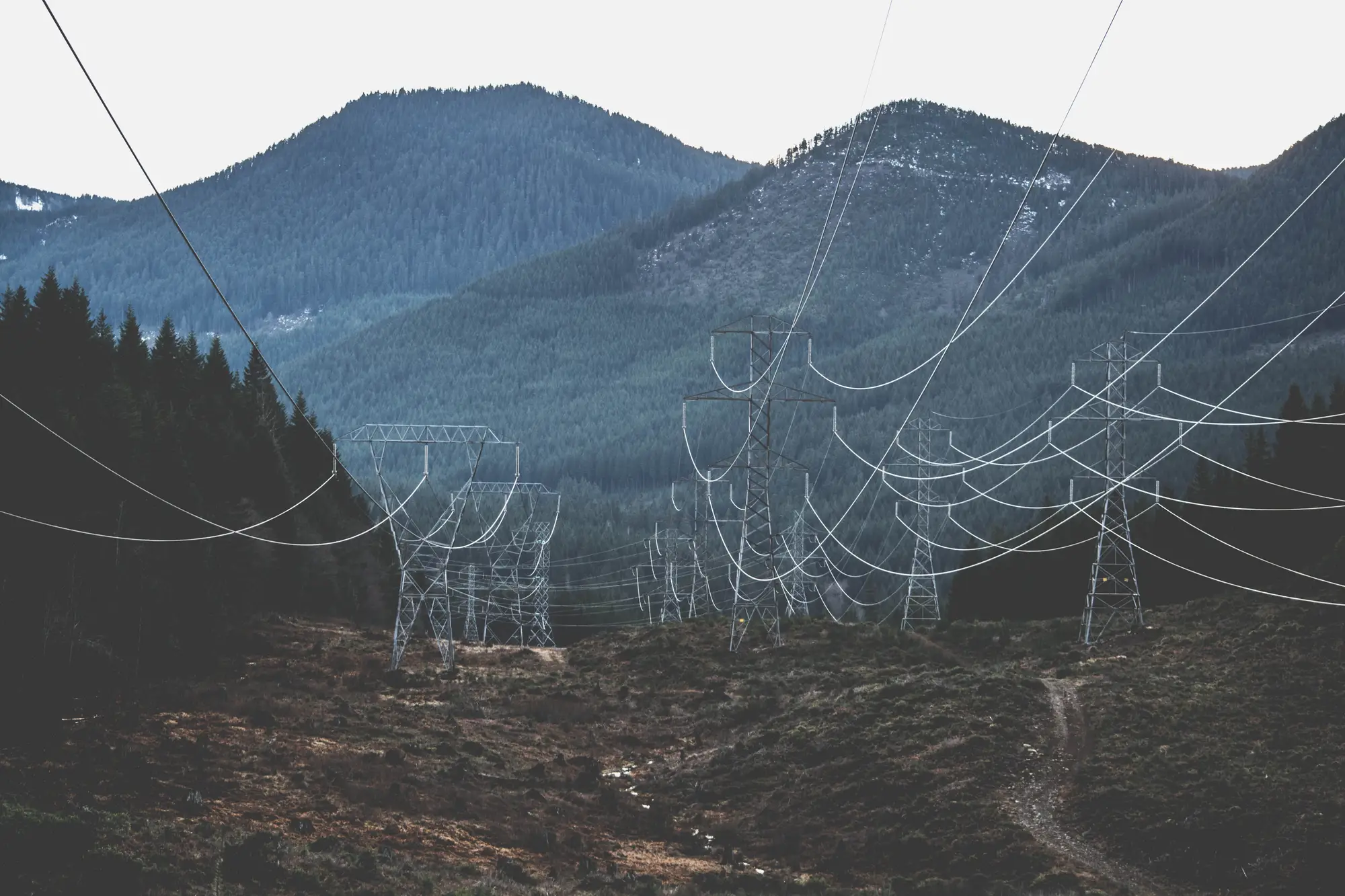
Worse is the ridge nobody walks. It looked fine, a mast went up, and the roughness around it only showed in the first months of data, when the position can't easily move. The temporary planning application and the landowner conversation are already behind you by then.
A desk screen with current heights and surface cover is meant to catch some of these before anyone leaves the office. Wind Farm Siting is meant to be that screen: slope, roughness class and obstacle height across your envelope, with the ridgeline segments that survive it marked.
02What you get
What a pilot would deliver
This is an early-access offer. The layers below are what a pilot is meant to deliver, scoped project by project.
2.1Slope / Roughness
Terrain layer
Raster / GeoPackage
Slope and roughness class across the siting envelope, opening in QGIS or ArcGIS. Roughness is a class for the surface cover, so you can see where open ground gives way to scrub, forest or buildings.
2.2Obstacle
Obstacle map
GeoPackage
Heights derived from stereo image pairs for buildings, tree lines, pylons and similar objects inside the envelope. Treat each height as a screening estimate and check it on site before you rely on it.
2.3Mast
Met-mast candidates
GeoPackage
Ridgeline segments flagged as worth further assessment, drawn from the terrain and obstacle layers. A flag means the segment survived the screen. It says nothing about the wind there.
The set is produced once per project and refreshed each year, or when you bring a new envelope.
03Method
How it works
You define the siting envelope
Send the boundary as a shapefile or GeoPackage, with a note on the terrain: open, forested or mountainous.
One stereo pass
A very high resolution stereo pass covers the envelope, refreshed annually or per project.
The layers are derived
Slope, roughness class and obstacle height are computed from the stereo pair.
You get a flagged layer
The terrain and obstacle layers come back over your envelope with the candidate ridgeline segments marked.
04Where it fits
Before the mast goes up, never instead of it
The screen narrows which ridges deserve a measurement campaign. The mast and the resource assessment still do the measuring. If you have already run your own desk study, the layers can be set beside it ridge by ridge, and the places where the two disagree are the ones worth a closer look.
05Read before scoping
Limits
- L1
No wind data
The layers describe terrain and obstacle geometry only. They contain no wind speed, no wind resource and no energy yield.
- L2
Heights are estimates
Obstacle heights come from stereo imagery at the stated resolution. They are screening estimates, to be checked on the ground, and are not survey-grade.
- L3
Forest changes the reading
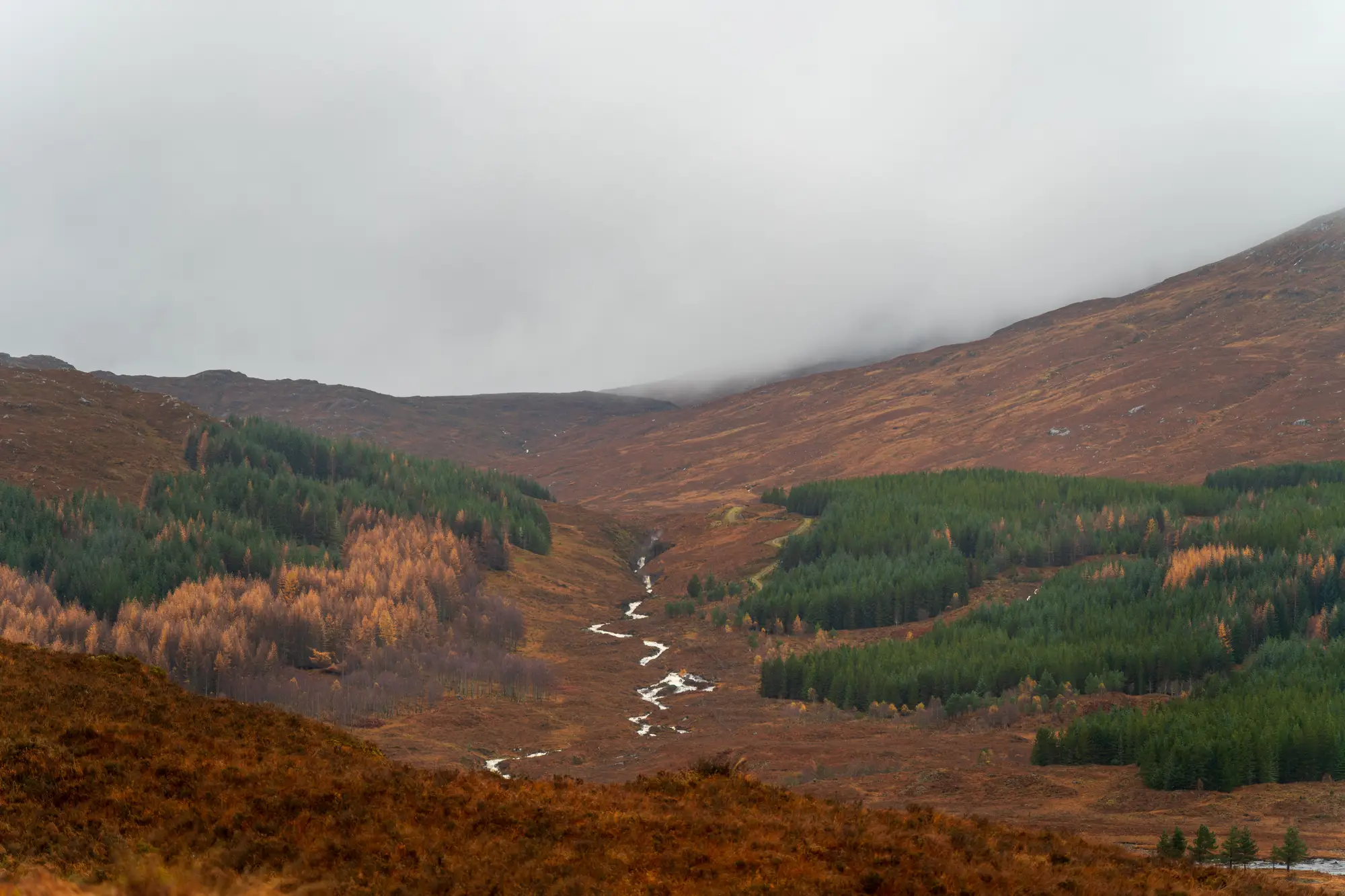
Tree canopy affects both roughness and obstacle height. In forested terrain the model reads the top of the canopy, so slope and obstacle readings there carry that limit. Tell us about the forest on your site.
- L4
0.5 m or finer is the floor
At 0.5 m a pixel covers about half a metre of ground. Buildings, pylons and tree lines resolve, while thin wires, fence lines and small shrubs do not.
- L5
Annual, not live
The refresh is annual or per project. Anything built or cleared after the pass will not appear until the next one.
- L6
Cloud and stereo geometry
Cloud over the envelope at the time of the pass can leave gaps. Steep or narrow valleys can be hidden from one side of a stereo pair.
06Audience
Who it's for
- Siting engineers and wind analysts at developers who need to choose met-mast positions inside an envelope.
- Origination teams that want to drop poor ridges before paying for access and a walkover.
- Teams that already hold terrain data and want a current check of what stands on it.
Who it's not for
- Teams after a wind speed, a wind resource figure or an energy yield. The layers hold no wind data.
- Teams looking to replace a met mast or a measurement campaign. This only helps place one.
- Wake, layout optimisation or noise and shadow-flicker modelling. Those sit later in the project.
- Teams that require survey-grade or certified heights.
07FAQ
Questions from siting engineers
Does this measure wind speed?
No. It describes terrain and obstacle geometry. For wind you still need the mast.
Can it replace a met mast?
No. It screens where a mast is worth placing.
How good are the obstacle heights?
They come from stereo imagery at the stated resolution, so treat them as a screening estimate and check them on site. No accuracy figure is quoted.
How does it work in forested terrain?
Canopy affects roughness and obstacle height, and the model sees the top of the trees. Flag the forest on your site when you scope it so the limit is stated against your envelope.
How often does the terrain need re-screening?
A refresh each year, or when you bring a new envelope. Between refreshes the layers will not show new buildings, felling or lines.
Can we check it against our own desk study?
Yes. Share the ridges you have already ruled in or out and they can be set beside the flagged segments, so you can see where the two disagree.
Will it open in our software?
The layers are meant to open in QGIS or ArcGIS, and you can bring them into your resource and layout package from there. Tell us what you run when you scope the pilot.
Who owns the layers?
Use and ownership terms are written into the agreement before work starts. The imagery archives the layers come from keep their own licences.
How is it priced?
Each envelope is scoped and quoted on its own. Pricing is confirmed once the pilot is scoped.
08Pilot list
Screen your siting envelope.
Tell us the envelope and the terrain, and ask about the pilot in the chat.
Join the pilot list