16 November 2026
The ridge we almost sent a crew to
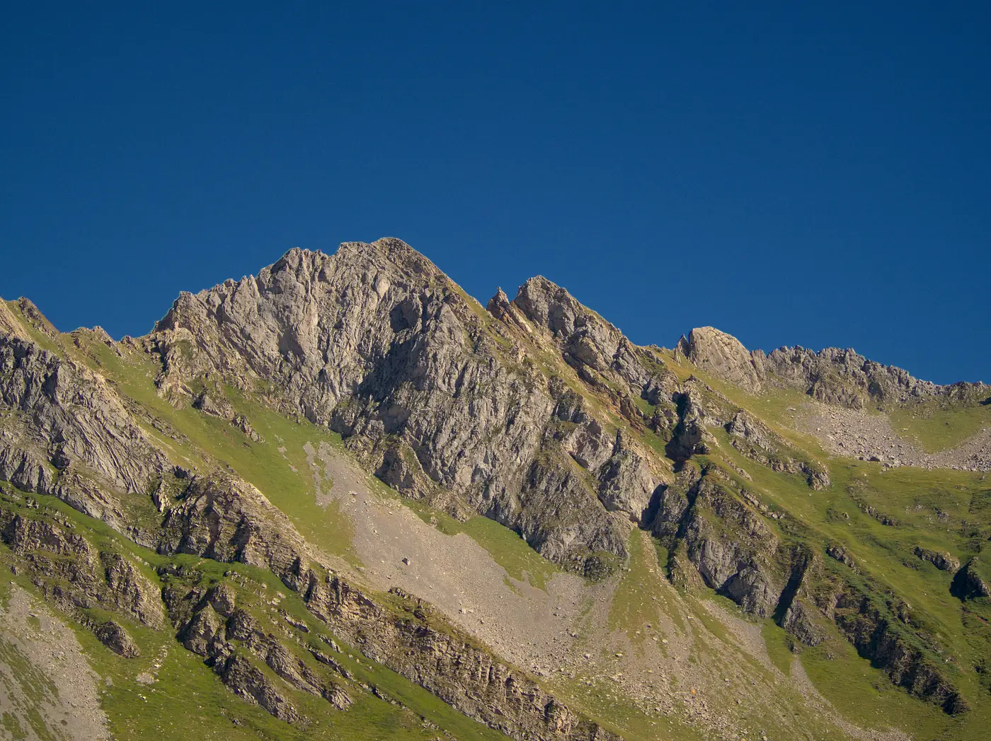
There's a ridge about forty minutes past the last paved road that we almost put a crew on last spring. It had everything you want on a first pass: good exposure, a clean fetch from the prevailing quadrant, no competing met towers within five miles, and a landowner who'd already signed the option. The 1:24,000 quad showed a nice smooth spine running northwest to southeast, contour lines spaced wide and even. On paper it was the kind of site you fast-track.
What the contour sheet didn't show was the scarp on the lee side.
We caught it on a second look, pulling stereo imagery over the candidate string before locking the mast coordinates. The ridge crest itself was fine, maybe 8 to 10 percent grade, well inside what a crane pad crew can work with. But about sixty meters back from where we'd have set the tower, the ground dropped away sharply into a bowl that doesn't register at quad-sheet contour intervals. That kind of terrain break does two things to a met mast: it throws turbulent flow up into your lower anemometer heights on days the wind backs around from the southwest, and it means the access spur we'd sketched from the valley road would have needed a switchback nobody budgeted for.
None of that is visible from a windshield survey, and it's barely visible from a topo map printed at the scale most of us still use for first-round screening. You need slope computed at a resolution tighter than contour lines give you, and you need it before you've committed a crew day and a mobilization cost to finding out the hard way.
The obstacle layer told the second half of the story. There's a stand of mixed conifer along the access track, maybe 18 to 22 meters at the canopy, sitting almost exactly upwind of where the mast would've gone for the dominant resource direction. Tree height relative to proposed hub height matters for shear profile, but it matters just as much for the met mast data itself. A boundary layer that's been chewed up by a tree line 150 meters upwind gives you a turbulence intensity reading that doesn't represent what the turbines will actually see once they're above the canopy. We've had resource assessments come back soft before and spent a season arguing about instrument calibration before someone finally walked the upwind fetch and found the obvious answer standing there in the trees.
So the ridge got a flag instead of a flight. We moved the candidate position about 400 meters along the spine to a stretch where the slope held steady and the upwind fetch was clear pasture, not timber. Same ridge, same landowner agreement, same general resource class. Just a different 400 meters that a contour map alone wasn't going to hand us.
This is the part of siting that doesn't show up in the resource report later: the ridges that got screened out before anyone drove out there, and the crew days that didn't get spent finding out why. We've started running every candidate string through a terrain and obstacle check before it goes on the field schedule, the same slope, roughness, and canopy-height pass that caught the scarp on that northwest ridge. It doesn't replace the walk-down. It just makes sure the walk-down is for a ridge worth walking.
Not every site has a hidden bowl sixty meters off the crest. But enough of them do that it's worth checking before the truck leaves the yard. If you've got a ridge on the list that looks too clean on the contour sheet, that's usually the one worth a second look.