9 November 2026
What is RIX, and why it flags an unreliable wind flow model
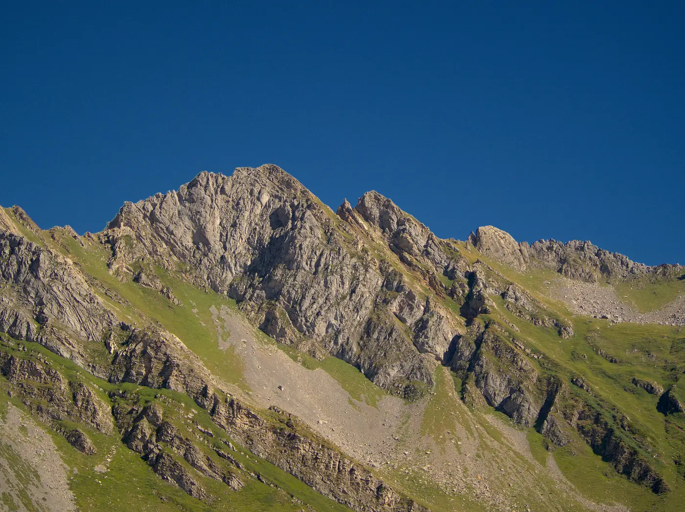
If you've run a WAsP flow model on a ridge site and gotten numbers that feel too clean, RIX is usually where the problem hides.
RIX stands for Ruggedness Index. It's a single number, expressed as a percentage, that tells you how much of the terrain around a point is steeper than a critical slope. The default critical slope WAsP uses is 0.3, which works out to about 16.7 degrees. Draw a circle of a given radius (the standard is 3.5 km) around your site, measure what fraction of that circle has a slope inclination exceeding 0.3, and that fraction is your RIX. Flat farmland sits at 0%. A knife-edge ridge in the Pennines or the Appalachians can run well into double digits.
The number by itself isn't the point. What matters is why it exists at all.
Why RIX exists
WAsP's orographic model, the piece that does the heavy lifting on flow speed-up and sheltering, is a linearized potential-flow solver. It assumes air moves over terrain the way it moves over a gentle hill: attached, laminar, predictable from the shape of the ground. That assumption holds up fine on rolling grassland and breaks down the moment slopes get steep enough to separate the flow. Once you get flow separation, you get recirculation zones, lee-side turbulence, and wind speeds that the linear model simply isn't built to predict. The model keeps producing an answer. It just stops being a trustworthy one.
RIX was developed as a proxy for exactly that failure mode. Risø researchers found that sites with high RIX values correlate with cases where WAsP's predicted wind speeds diverge from measured ones, because the terrain is rugged enough to trigger the separation the model doesn't handle. A RIX number near zero tells you the orographic model is operating inside its comfort zone. A RIX number climbing into the teens or higher tells you the ground is doing things the solver can't see.
The threshold that actually matters: delta RIX
Raw RIX at a single point is useful, but the number siting engineers actually watch is delta RIX: the difference between RIX at your candidate turbine or mast position and RIX at your reference site (an existing mast, a long-term reference station, or a met-mast candidate you're comparing against). If RIX at the target is close to RIX at the reference, the terrain character is similar enough that extrapolating the flow model between the two is reasonable. If delta RIX is large, in either direction, you're asking a linear model to transfer wind speed between two terrain regimes it wasn't designed to connect.
There's no universally agreed hard cutoff, and anyone who quotes you one number as gospel is oversimplifying. But the practical rule holds across most European and North American WAsP guidance: once delta RIX moves much past a few percentage points, treat the WAsP output as a flag for further investigation, not a final answer. That usually means a CFD run, a second mast, or at minimum a hard look at the terrain contours before you commit a crew.
Where this saves you a trip
Computing RIX properly takes decent terrain data to start with: DEM contours, a defined radius, and a slope calculation run point by point. Pulling that together for a dozen candidate ridges by hand costs real field-season time. The screening question worth answering before any of that work starts is simpler: does this ridge look rugged enough to make WAsP's output suspect in the first place?
That's the gap a desk-based terrain and obstacle screen fills. Deriving slope, surface roughness, and obstacle height from stereo imagery before a flow model ever runs gives you a fast read on which ridgelines are flat enough to trust a linear model and which ones are going to need a CFD pass or a second mast regardless of what RIX comes back as. Screening a candidate ridge from imagery before committing a crew to it turns what used to be a field trip into an afternoon at a desk.
If a ridge on your list is starting to look steep enough to worry about, it's worth running that screen before you schedule the mast install.