2 November 2026
Why fewer ridgelines get walked before the mast goes up
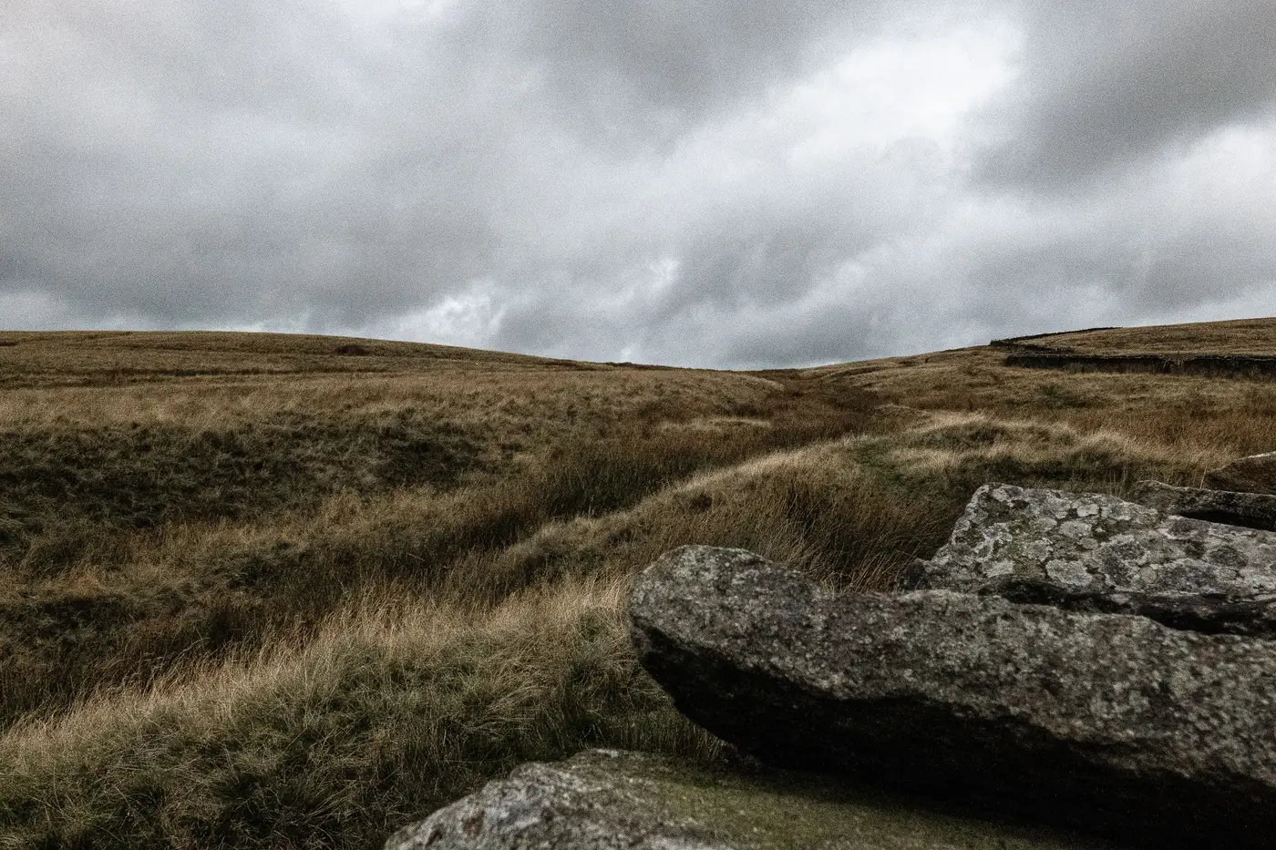
A few seasons back, walking every candidate ridgeline in a resource area was just what you did. You had a shortlist from the wind rose and the met tower network, you laced up, and you went and stood on the thing. Slope, exposure, the scrub line, whether the saddle between two knobs was going to turn a clean westerly into a mess of turbulence. You learned it with your boots.
That's changing, and not because the terrain got easier to read from a truck window. It's changing because a lot of what used to require a boot on the ground can now be pulled apart from stereo imagery before anyone books a flight or a rental car.
Talk to a siting engineer at almost any developer right now and you'll hear some version of the same thing: the shortlist that used to have eight or ten ridges on it, half of which were never going to pencil out, now has three or four by the time a crew gets dispatched. The ridges that get walked are the ones worth walking. The rest got ruled out at a desk.
That's not a small shift in habit. For a long time, "we haven't walked it yet" was reason enough to keep a marginal candidate alive. Nobody wanted to be the engineer who killed a site on a hunch and got proven wrong later by a competitor's met mast. So you walked it, logged the obstacle heights, noted the roughness transitions, and let the data settle the argument. That's defensible. It's also slow, and it costs real money in crew days, especially on a project with a dozen candidate positions spread across country you can't drive straight to.
What's filled that gap is a filter ahead of the walk. Slope, surface roughness, and obstacle height can be derived from sub-half-meter stereo imagery well enough to separate "this ridge has a tree line that's going to eat your hub-height wind" from "this one's clean pasture with a consistent grade." That's not news to anyone who's used LiDAR-derived terrain products before. What's different is that it's getting done earlier, cheaper, and over a wider candidate set than LiDAR passes usually got budgeted for, because the imagery was already going to be ordered for the broader site screen anyway.
The engineers who've leaned into this hardest got burned once: they walked a ridge that a decent terrain read would have flagged in twenty minutes, a knife-edge with roughness changes on both faces, or an obstacle line close enough to a candidate turbine position to matter. After that, the desk screen becomes the discovery step and the walk becomes the confirmation step.
There's a generational split in how comfortable people are with that. Engineers who came up walking every ridge in a resource area sometimes treat a terrain layer the way an old-school surveyor treats GPS: useful, sure, but not a substitute for standing there. The younger ones who've never had to justify a crew day to a project manager line by line take to it faster. Walking the wrong ridges is a cost nobody's budget tolerates anymore.
If you're screening a resource area this winter and trying to figure out which ridgelines actually earn a crew visit before the met mast budget gets locked, Wind Farm Siting puts a terrain and obstacle read on the candidate list before you send anyone out. Worth a look before the next site visit gets scheduled.